Panoramic pictures of Luhansk at Yandex.maps
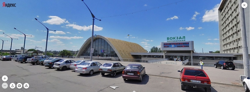
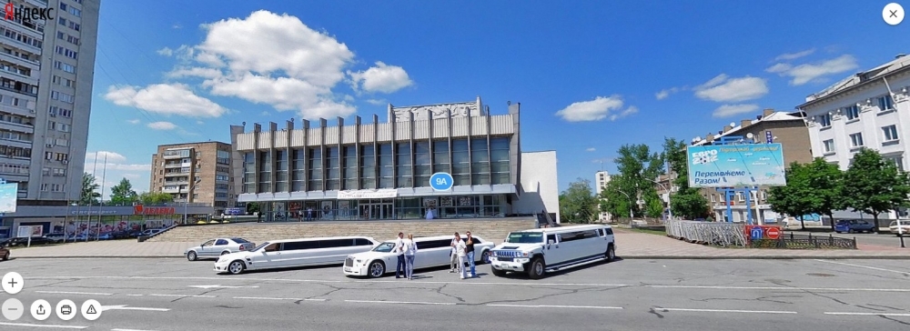
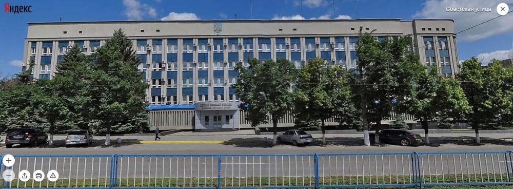
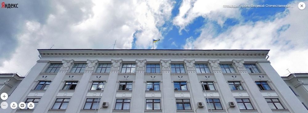
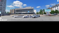
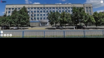
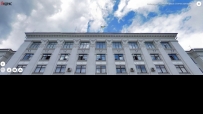
Few people know, but internet gives an opportunity to wander virtually across pre-war Luhansk. A glance at familiar streets, admire with Ukrainian flag over the administration and non-empty train station, drive past the hole “Furshet” and not gained SBU, and even drive to the airport. These are panoramas from Yandex.maps. They stayed still for Luhansk from the beginning of 2013, so it may be that there are photographs of 2012. There is no any stupid monument of LNR, there is no “nation leader” following you from the billboard, just Euro-2012 and motos “root and win all together” with various trade markets. We, unfortunately, cannot view all the panoramas, but the choice is still great – among other things, there is a Yuvileinyi, Myrnyi, and Pivdenyi quarters, cicle across Kambord and road to the airport. (from a public post "Ukrainian Lugansk", vk.com/wall-70310098_143811)
Screenshots from vk community "Украинский Луганск"

Add memory